Unlike the other subdivisions, many sections through this one are NON-MOTORIZED, except where noted.
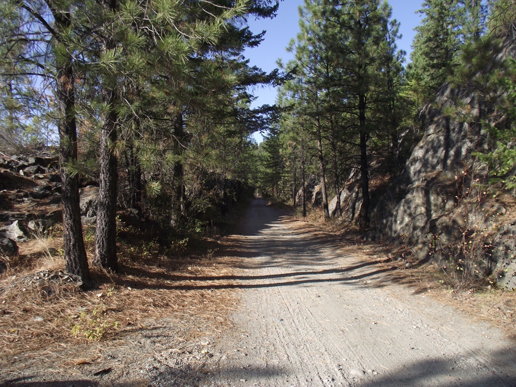
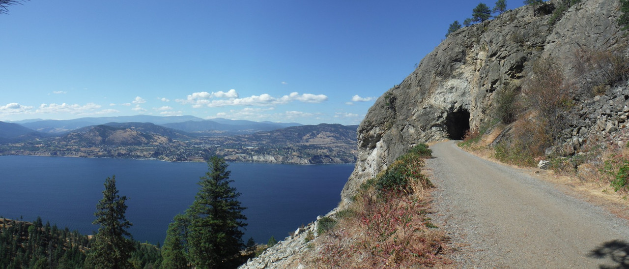
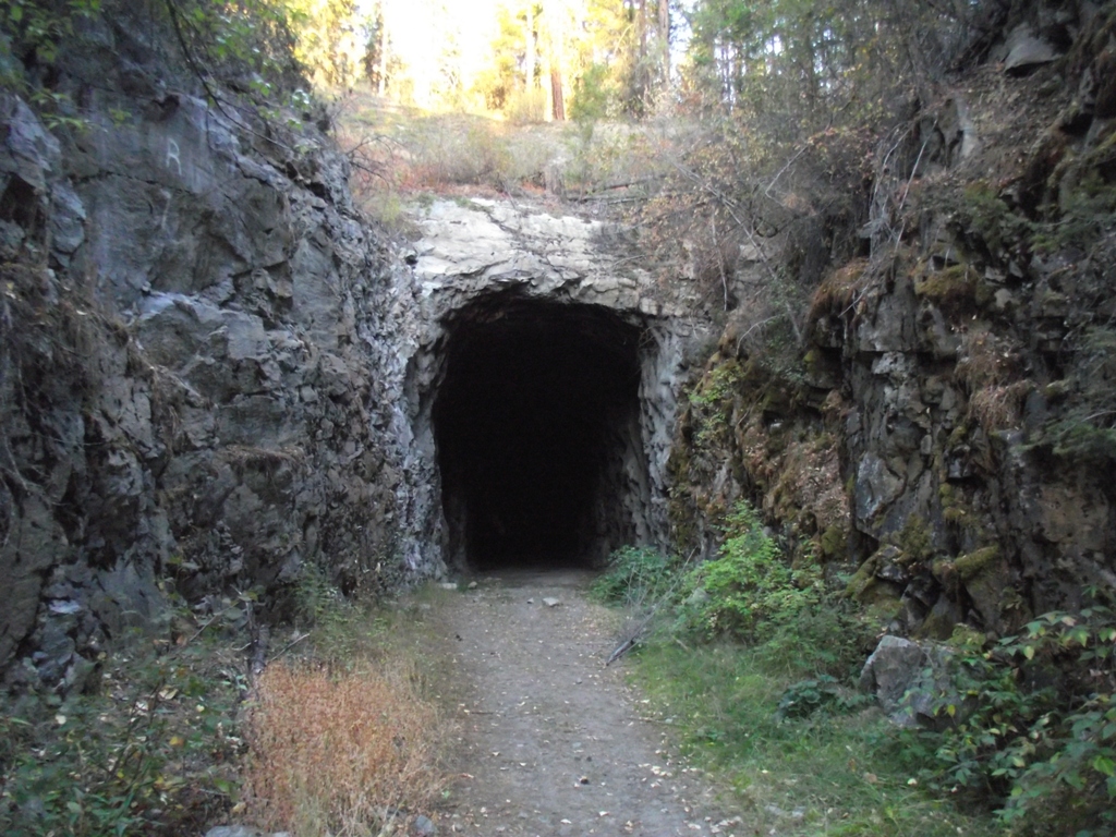
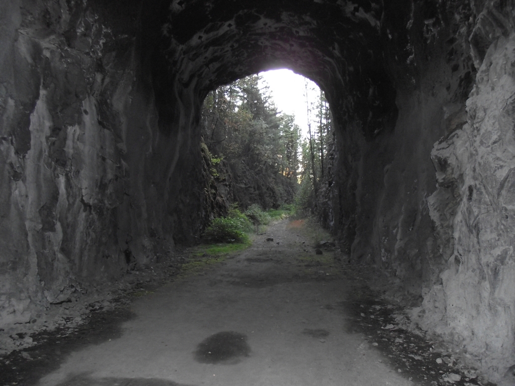
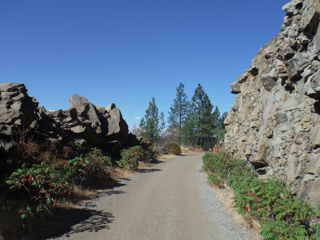
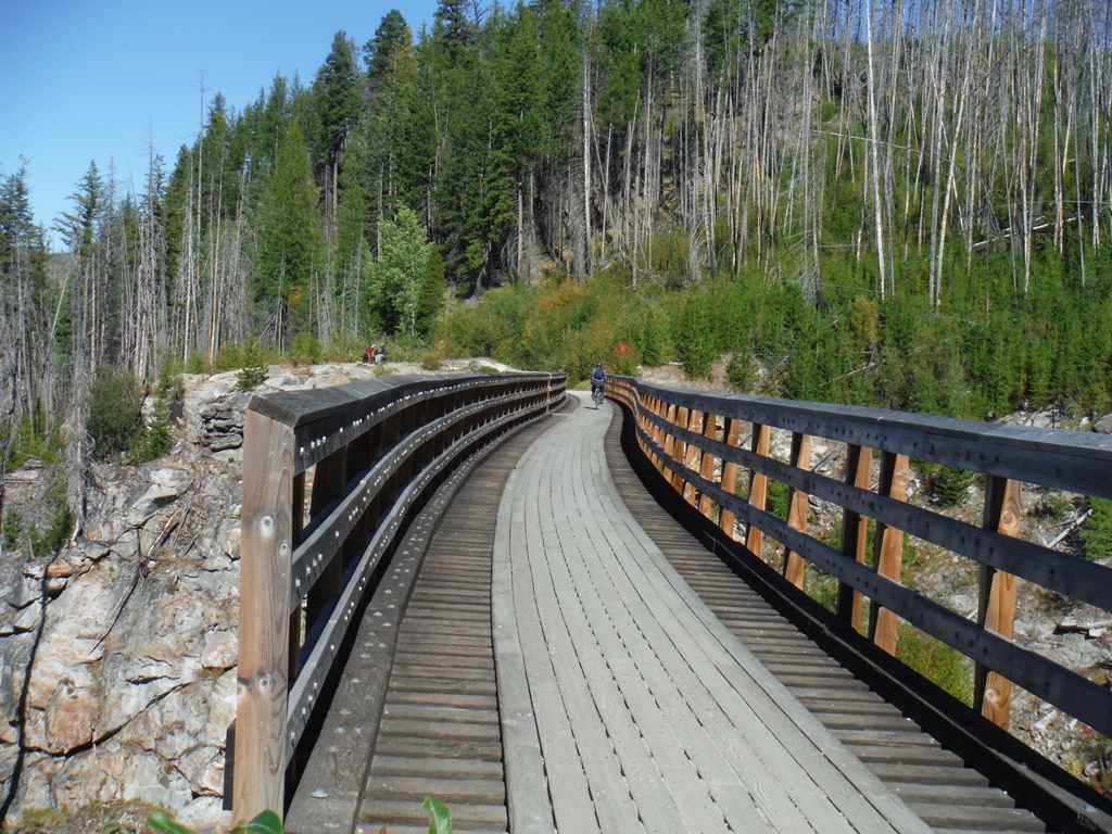
The next section of KVR that we completed, is across Okanagan Lake, at Naramata. There is a parking area at the end-of-pavement on Smethurst road, located at N 49.596294° W 119.568856°. This entire section of KVR, from Little Tunnel all the way downhill into Penticton and all sections up to the Prairie Valley station in Summerland, are strictly NON-MOTORIZED. This lot is where we parked and off-loaded our bicycles to make the trip. It is 4.4 km from the parking lot to Little Tunnel, with a gentle railroad grade gaining about 100m of altitude along the entire length.
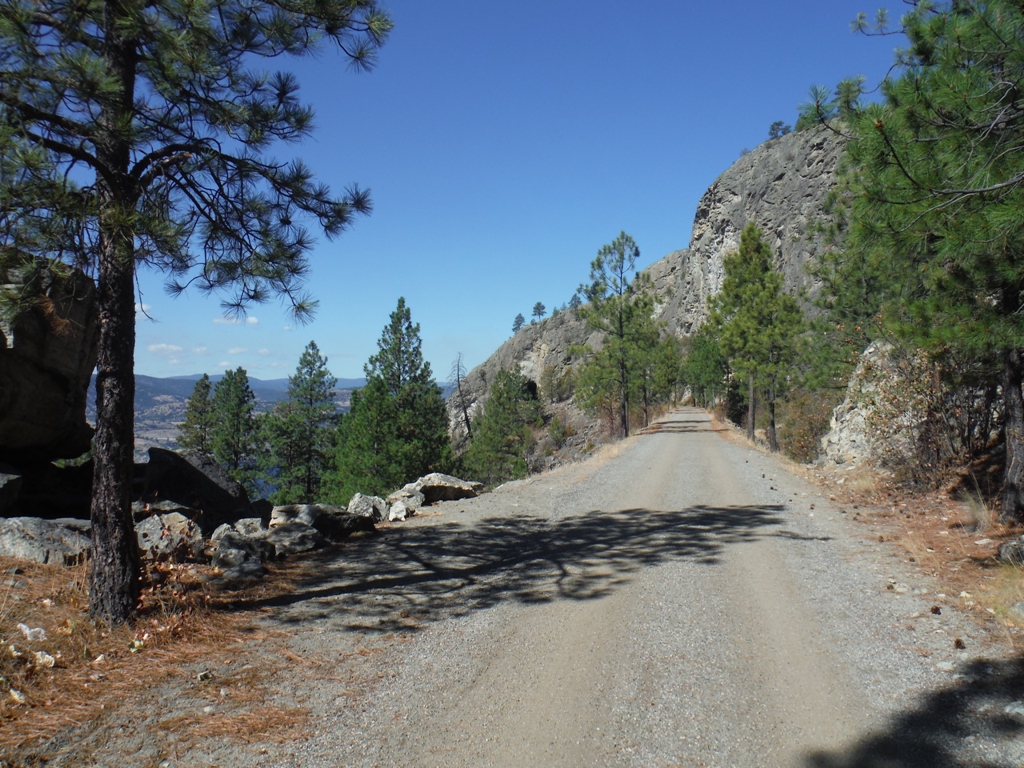
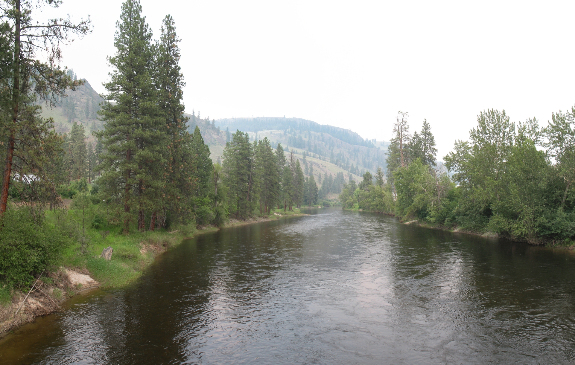
Orchards, vineyards and Okanagan Lake for as far as the eye can see, is your reward upon reaching the tunnel. What wonderful scenery the passengers on this train would have witnessed...
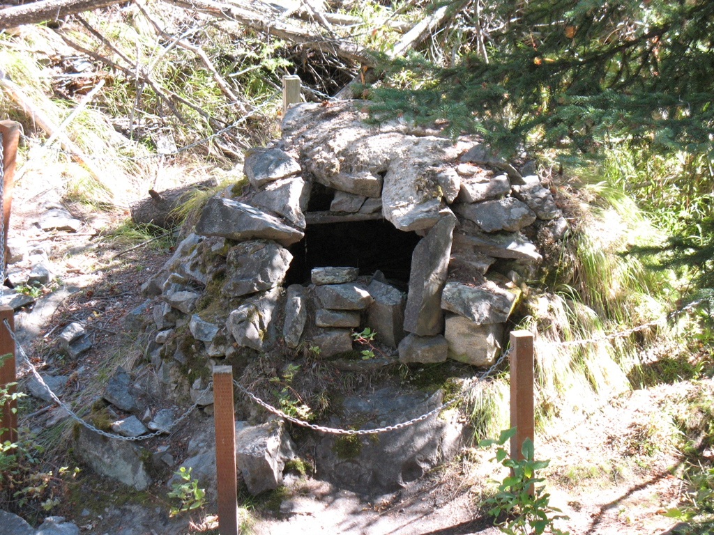
While at the tunnel, we took a small side trip/hike to a rock oven point-of-interest. The return to our vehicle afterwards was much easier, with gravity helping us.
***********************************************************************************
In September of 2022, we extended this trek to include the section from the Smethurst parking lot, into the town of Penticton


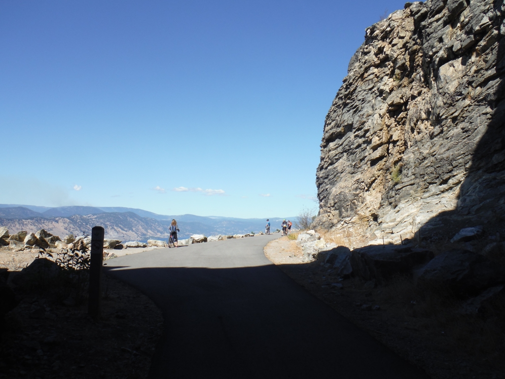
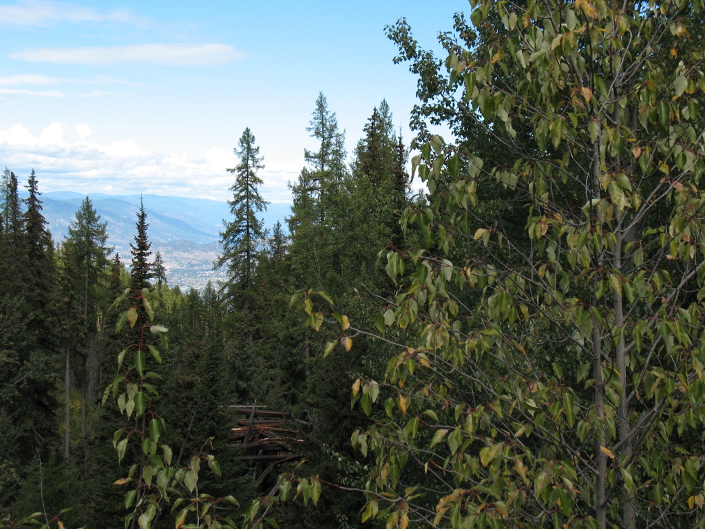
A nice view of the north end of Penticton and Okanagan lake.

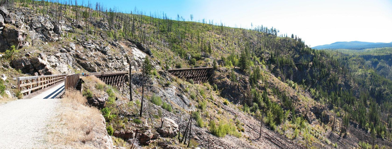
On a different occasion, we also completed a portion of the downhill section from Chute Lake, but found the trail to be too loose and sandy, so we backtracked and exited. The next day, we did another uphill portion from Little Tunnel, past the Glenfir loop to the Adra Tunnel.
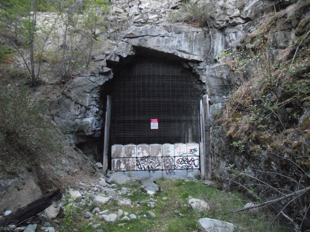
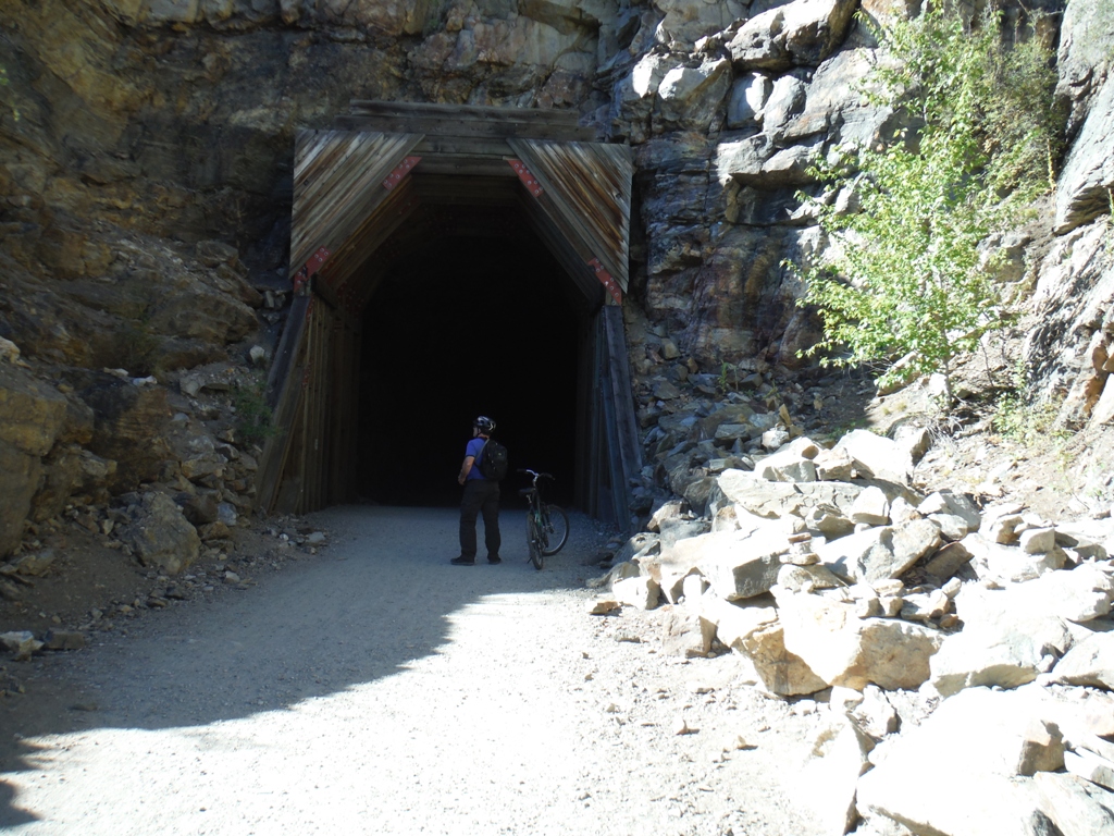
The Adra Tunnel is unique in that it is a spiral tunnel which maintains a 2.2% grade throughout its 489m of length. It is currently impassable and is blocked at both ends to prevent entrance, although the northern entrance is open for about 100m to allow tourists a glimpse of the inside.
A small trail was added so as to bypass the tunnel completely, but it is still worth a look. The Glenfir loop, further downhill from Adra, served as a rest stop to allow the trains to cool their brakes, in preparation for the 20 km descent into Penticton.
On yet another occasion, we travelled northwards from Chute Lake towards the Myra Canyon.
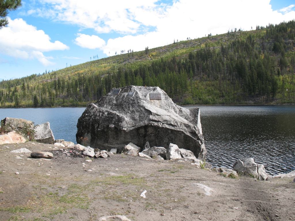
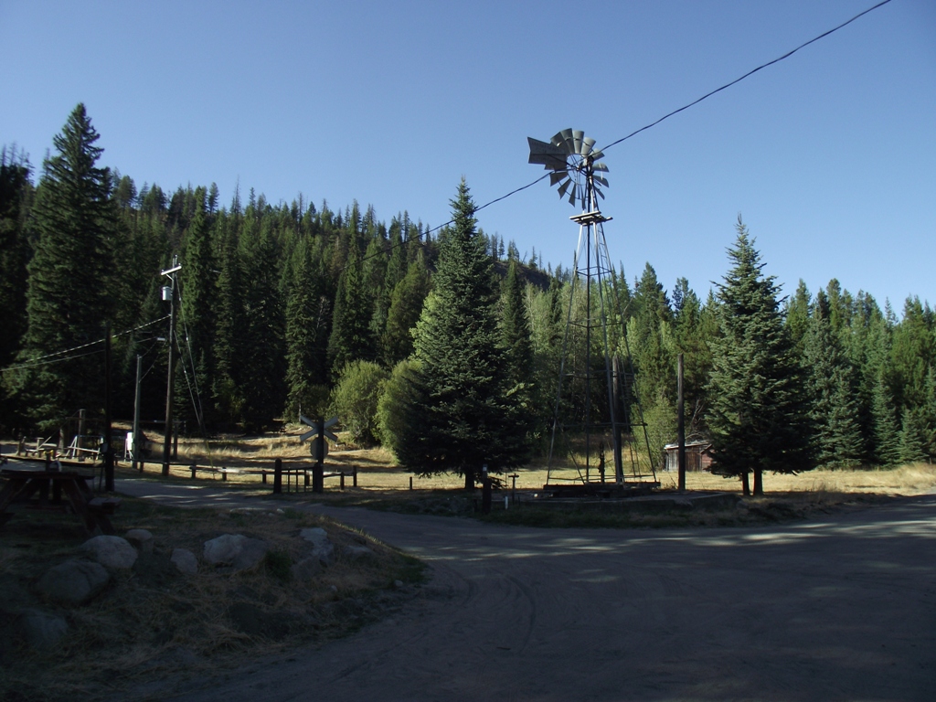
Chute Lake served as another station back in the day, and remnants of the past can be seen here, such as the old windmill, the water-tower base and the railroad crossing.
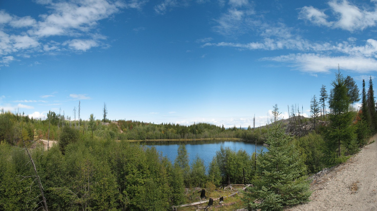
The next 16+ km (to the Bellevue Trestle) were among the most disappointing of the entire trip, mostly because of the railbed's condition and the lack of views. After leaving Chute Lake, the railbed becomes pockmarked with many holes, puddles and loose topping, which doesn't make for decent riding. Other than the mountainside, there is basically nothing to see until you pass Lebanon Lake and even then, the views are fleeting as they only appear through the trees from time to time.
About 6 km's past Lebanon, the railbed enters the forest again, and the views disappear entirely...and the railbed does not improve. If you look closely in the canyon on the north side of the road, you may see the remains of some old wooden trestles, partially hidden by the forest...a few more years and they will fade from sight completely!
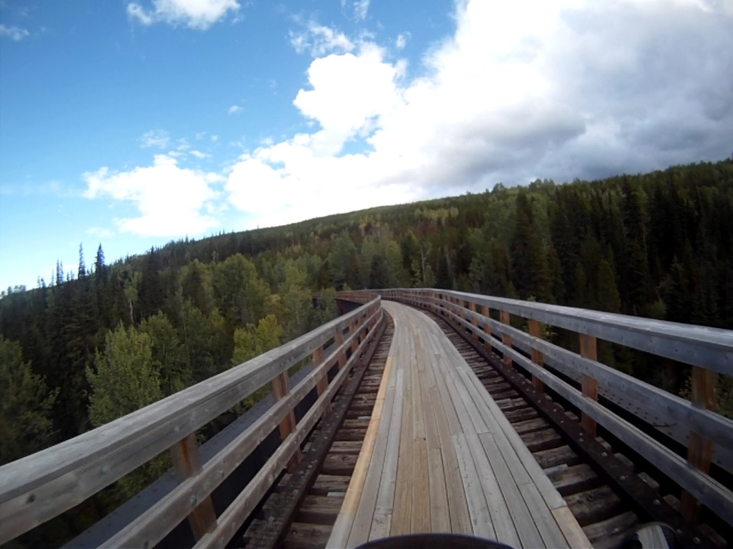
The Bellevue Trestle at N 49.741250° W 119.411448° is one of the longest bridges on the KVR, spanning 238m in length and 65m in height. This trestle is listed as “non-motorized” which is a strange ruling, given that the road on both ends is not.
Unfortunately, after the Bellevue Trestle, there is not much to see again, until you reach Ruth Station some 8 km's later.

This last section of railbed can be unstable during heavy rains, and during our journey in September of 2018, there were many sections along here that had been "narrowed" and eroded by water. Although this entire section from Ruth to Chute Lake is multi-use, I would think twice about bringing any sort of 4-wheeled vehicle here.
MYRA CANYON:
In 2016, we visited Myra Canyon for the first time. Our cycling adventure began at the Myra Canyon parking lot, not from Ruth Station...which is why these photos may appear to be from the wrong perspective.
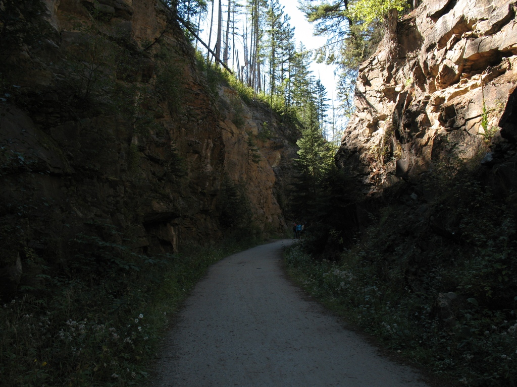
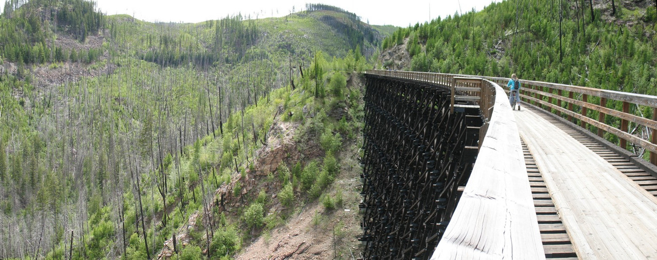
The entire Myra Canyon is CLOSED to any sort of motorized traffic, and after seeing the area I totally agree. This is one section of the KVR that simply must be traveled slowly and deliberately, in order to appreciate every aspect and nuance of the work that went into its construction.
This section of the KVR contains the highest point of the entire railroad at 1430m above sea level.
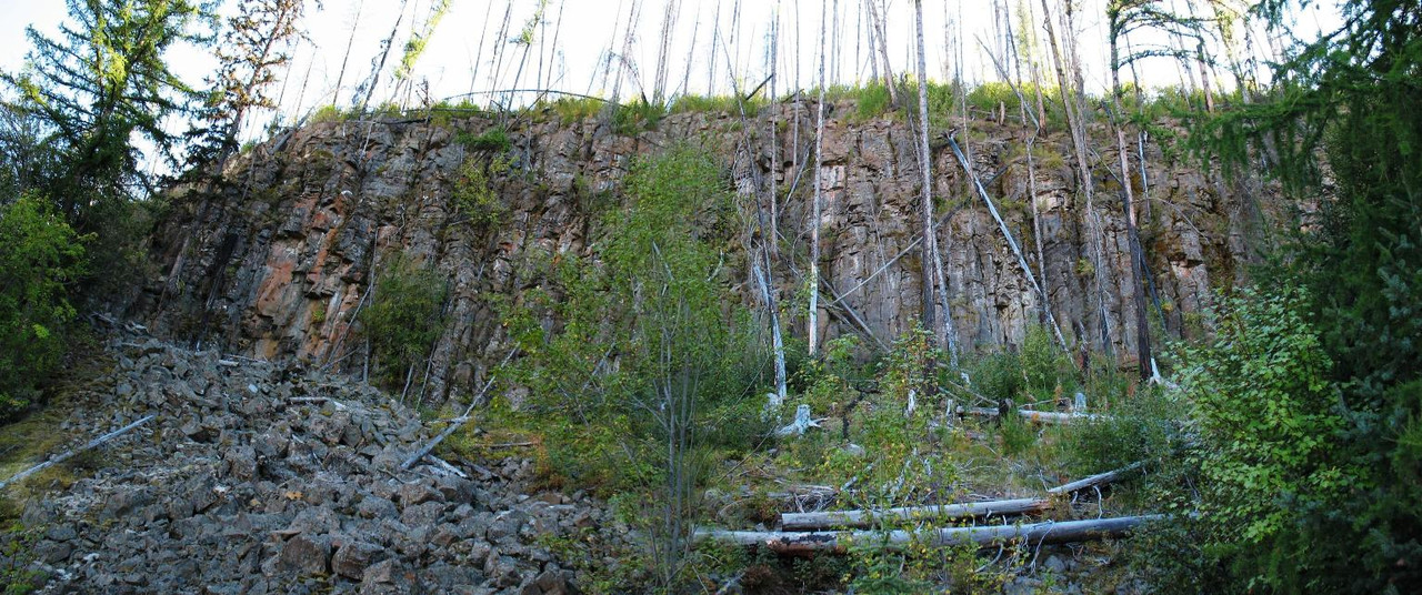
As you cycle the 12 km trail, you will cross 18 trestles, pass through 2 tunnels and several huge rock cuts. Keep your eyes open for the rock ovens, the basalt columns and the overgrown water-tower base.
The tallest trestle in this section is Trestle #4 which stands at 40m high and over 150m long. The whole canyon is a marvel to behold and should be on everyone's bucket-list.


Then a smaller swampy-looking Summit Lake...

Then, the remnants of Cookson Station.

Shortly before reaching Arlington Lakes, we encountered another swampy-looking body of water...


Much of the route along this section was full of deep potholes, loose gravelly bits and numerous slides, particularly at every rock-cut.

At Rock Creek, we climbed down to the rail trail at N49.042425° W118.875512° and proceeded Northwesterly. This section is supposedly "multi-use" but it could present some challenges to motorized riders, as the trail narrows to single-track in some places.
We encountered some creative rock sculptures along the way...


A bit further along, you will cross the Kettle River at this bridge, to make your way back to the main highway, as there is no more of the rail trail to access in this vicinity.


Upon closer inspection, it would be easier to cross this washout on the UPSTREAM side of where the trail used to be...downstream offers no passage.


Once we reached the end of the trail at N49.065358° W118.999459°...we turned around and headed back to our truck in the parking lot.


Still, every now and then, you are rewarded with a decent view...

The return trip takes 35 - 50 minutes, depending on your pedal-speed...bring water and your essentials.

We travelled by road from Rock Creek to just north of Carmi, where we took an FSR which led to the intersection with the KVR at N49.53827 W119.08918. From this point, we travelled southwards along the railbed.


The trail then turns inland and follows the valley contour.


Every once in a while, you'll be creekside.....

...or you meet up with a station's kiosk....


Taurus station and water tower base.


The rail trail continues along this path until Zamora Station at N49.14903 W118.98268 whereon it crosses through a large field, a short treed section and then another field before coming to the creek crossing we encountered last year at N49.133968° W118.987035°.
This was, without a doubt, the most disappointing sub-division of the entire KVR. Aside from some scenery at the Naramata end and the Myra Canyon it really isn't worth the time to visit.
The entire section from Myra eastwards was uninspiring, overgrown or overgrowing...wracked with obstacles...and generally lacking in maintenance or upkeep. If there was a list of "must see" sections of the Kettle Valley rail trail, this part (from Myra to Midway) would NOT be on it. It would be challenging to complete on bicycle, as many sections have vanished from existence.
Nevertheless, we needed to complete the entire route, so we had to take the bad with the good...I'm sure that those building it were relieved at the "boring" sections of flat track and a few trees.
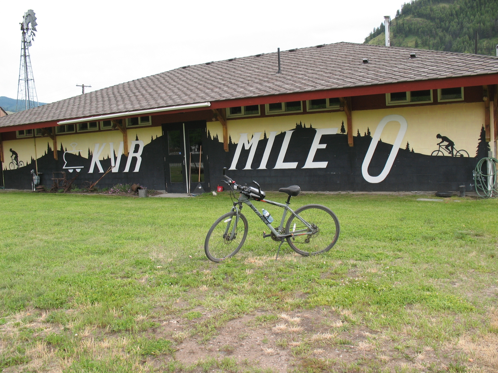
KVR completed...now, on to the next challenge!
Thanks for this. Some great info. I didn’t realize a few of these sections were non motorized
ReplyDelete